#WILDFIRE
Fire in the Age of Instagram

From early November to December 2016 wildfires spread accross Southern Appalachia, destroying acres of land in serveral states and impacting the lives of thousands of people. This website will examine what fire looks like through the lens of Instagram.

THE MAP


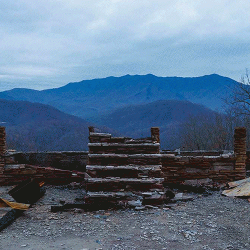
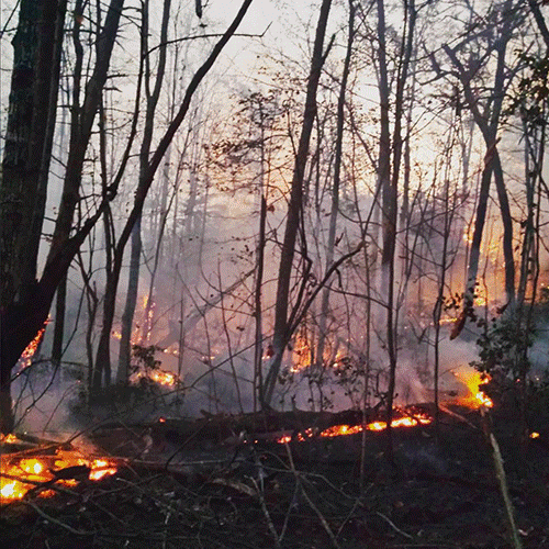
In today's age, almost anything you can imagine is documented through Instagram and the wildfires in southern Appalachia were no exception. Many users integrated Geotags (electronic tags that assign a geographical location to a photograph or video) with their posts about the fire. Below is a map plotting those various Geotagged posts. The map will illustrate that Instagram became an open journal for many people who experienced the fires. The posts give us a look into the complexities of natural disasters, and the diverse impact they have on people. The map acts as a visual aid to stories of a diverse group of people.

Associated with each marker is image and text that were posted on Instagram during the time of the fires. The latitude and longitude points were extracted from the Geotag and used to plot the marker's locations on the map. If you wish to focus on a section, you can zoom in and out of the map using the +/- controls in the upper left corner.

map isnt working

As we take a look at the markers we see that Geotags show a unique perspective of the fires. The markers are points of human experience and personal story. The map gives us specific stories for each marker, and provides us contextualizaion for broader stories of impact when comparing one marker to another. It compartmentalizes a complex web of experience into latitude and longitude locations that can be dissected.

HASHTAGS


Hashtags became another key component in the mapping of the fire and allowed for users to easily connect. Hashtags were used to filter through Geotagged posts in creating the map in this website. Hashtags were used by those who experienced the wildfires as broader ways of connecting. Unlike the Geotags, which focused on a single GPS location, these allowed users to include an entire state or an entire fire. Below are links to some relevant and well populated hashtags that sprung up during the time of the wildfires.

#gatlinburgfire


#kywildfires


#ncwildfires


#rockmountainfire


CONCLUSIONS

Without a doubt, the imagery found on this website tells stories of devastation and loss. The fires that spread across Southern Appalachia in the fall of 2016 cannot be discredited with beautiful imagery. However, with these images a new perspective of the fires emerges from the smoke. It is a telling story of the power that a social media app like Instagram has in allowing for creativity and expression in times of disaster.